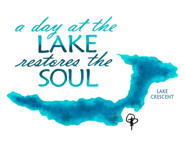
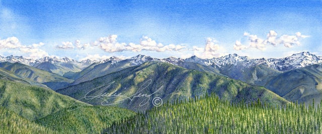
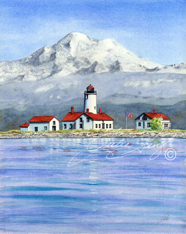
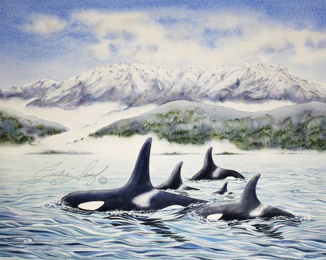
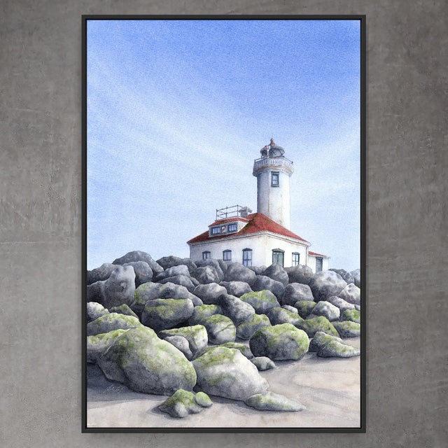
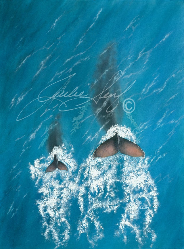
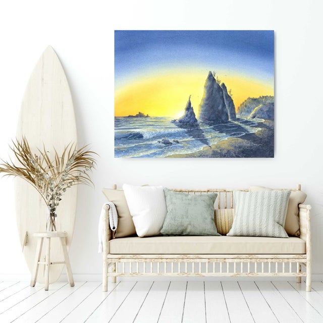
theOP - Olympic Peninsula
is a large arm of land in western Washington that lies across Puget Sound from Seattle, and contains Olympic National Park. It is bounded on the west by the Pacific Ocean, the north by the Strait of Juan de Fuca, and the east by Hood Canal. Cape Alava, the westernmost point in the contiguous United States, and Cape Flattery, the northwesternmost point, are on the peninsula. Comprising about 3,600 square miles, the Olympic Peninsula contained many of the last unexplored places in the contiguous United States. *wikipedia.org
for more information on our Olympic Peninsula visit
Home | Olympic Peninsula